 schoelinkThemenstarter1'933 Beiträge · seit 200704. Juni 2011 · #1
Moremi access from South Gate via Xini Lagoon 1st. 2nd and 3rd Bridge okay. Water was already high and rising over time - mind the wash-outs along the bridges with vertical descents into an axle deep pit. The route via Hippo Pool - North Gate was closed in accordance to park officials too riski to cross the river closer to the gate. Same info for the Khwai river crossing SE of the Khwai village. We used the South Gate-Mankwe-Mababe route (100 kms detour)
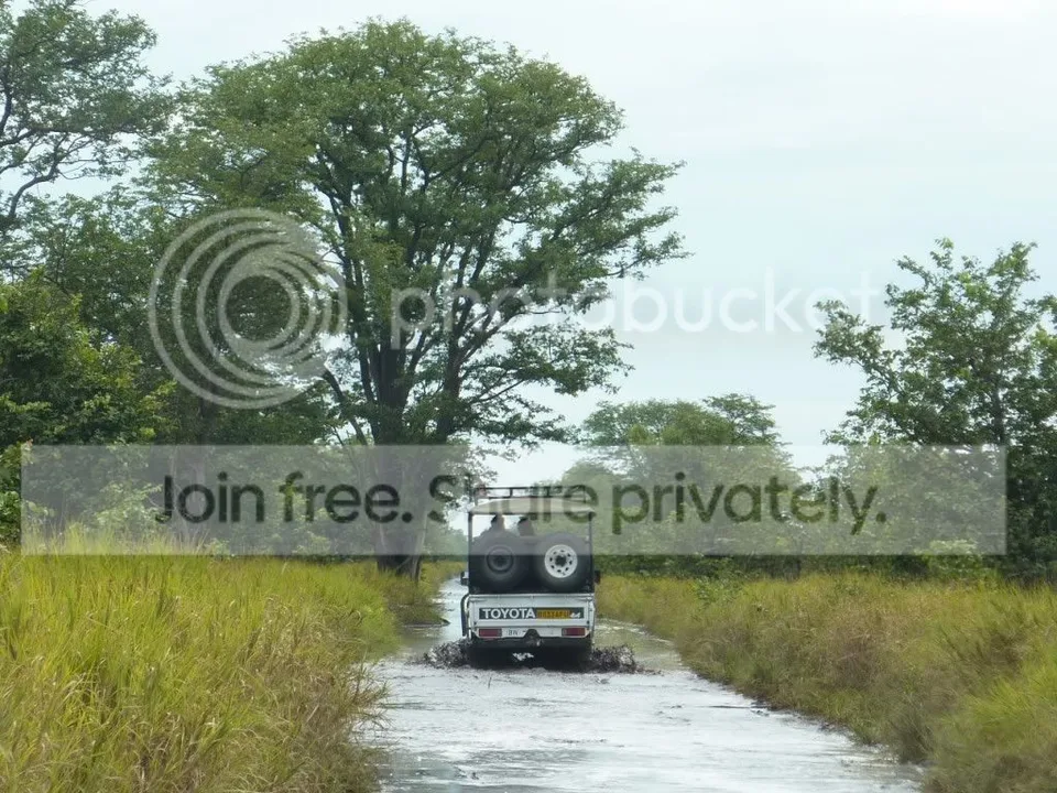
Mababe muddy after previous day rain but passable.
The Mababe to savuti stretch via Sand Ridge road was a real challenge.
As it is scraped into the landscape by grader it's the lowest point and hence the deepest water way (see pictures)
We followed a open safari vehicle for about 10 kms until it became too adventurous, the cruiser tilted and rocked and went under in invisible pits so we decided to leave the track and bundu bash through the high grass (bonnet level) in general direction North. (Slow speed to avoid damage on potentially harmful pits invisible because of the high grass.
Joined the track 20 kms further on on solid ground again.

Chobe:
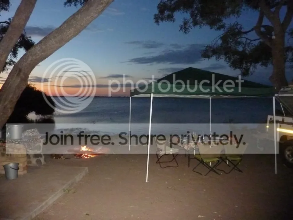
Waterfront drives all under water and closed. Quite a disappointment for the game viewing. The water levels are so high that the camp sites at Ihaha are now on a beach of an enormous lake fed directly from the flooded Caprivi. Water up to the fire places.
Mababe muddy after previous day rain but passable.
The Mababe to savuti stretch via Sand Ridge road was a real challenge.
As it is scraped into the landscape by grader it's the lowest point and hence the deepest water way (see pictures)
We followed a open safari vehicle for about 10 kms until it became too adventurous, the cruiser tilted and rocked and went under in invisible pits so we decided to leave the track and bundu bash through the high grass (bonnet level) in general direction North. (Slow speed to avoid damage on potentially harmful pits invisible because of the high grass.
Joined the track 20 kms further on on solid ground again.
Chobe:
Waterfront drives all under water and closed. Quite a disappointment for the game viewing. The water levels are so high that the camp sites at Ihaha are now on a beach of an enormous lake fed directly from the flooded Caprivi. Water up to the fire places.
